
News
Someone's Rain Dance is Working
May 13, 2026
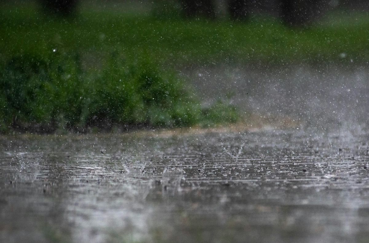
To quote one of the more famous adverts of the 90's, "Marge, the rains are 'ere!", or so say the forecasts.
It's been Australia's driest April in eight years, and with the threat of El Niño breathing down our necks, expectations for drought relief in May weren't particularly high. But in a welcome turn of (weather) events, the first north-west cloudband (NWCB) of 2026 is set to develop over Australia, delivering a broad band of rain from the tropics to Tasmania.
From Tropical Moisture to Rainbands
According to the CSIRO, NWCBs are usually present over Australia for an average of 36 days per year, peaking from April to June. However, 2026 has had a distinct lack of true, unbroken north-west cloudbands, a rain-producing weather system.
NWCBs are the longest cloud features observed in our satellite images, stretching for thousands of kilometres from Western Australia to the east coast, providing up to 90% of cool-season rain across the inland.
They form when cool, dense air wedges beneath tropical moisture flowing into the mid latitudes. The result? The warmer, humid air is lifted and condenses into long bands of clouds.
Earlier this week, tropical moisture started flowing south over Queensland and the Northern Territory, leading to patchy rain over the northern interior. As this moisture travels further south, the cloud and rain will spread over the eastern outback.
While the average total will remain below 20 millimetres, the odd storm could help to produce up to 50mm near the Queensland-South Australia border.
By late this week, patchy rain should reach southern South Australia, but by the weekend, it's expected that a true NWCB will stretch across the nation.
The ABC reports that the rain this weekend is likely to extend from the central and southern NT down to the south-east states. All up, the system is modelled to drop 10 to 30mm of rain across the country, including most farming regions of SA, western and central Victoria, far west NSW, and south-west Queensland.
There are also signs of more rain towards the end of the month.
Long Range El Niño Outlooks
While Bridget Jones may have thought it was a blip, the Bureau of Meteorology (BOM) long-range outlook showed the odds were stacked against a wet month.
Their forecast, issued in late April, showed that, for most of Australia, rainfall was likely to be below average. But the cup seems to have been 1/4 full, with the chance of 75% below median falls turning into 25% of above median falls.
However, the surprise NWCB soaking has no relevance to El Niño's presence or strength this year. Drier seasons are still likely for the rest of 2026,
Get the latest industry updates
Contact Us
Thank you for contacting us.
We will get back to you as soon as possible.
We will get back to you as soon as possible.
Oops, there was an error sending your message.
Please try again later.
Please try again later.